fr
fr en
en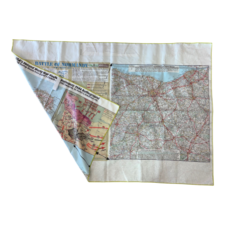
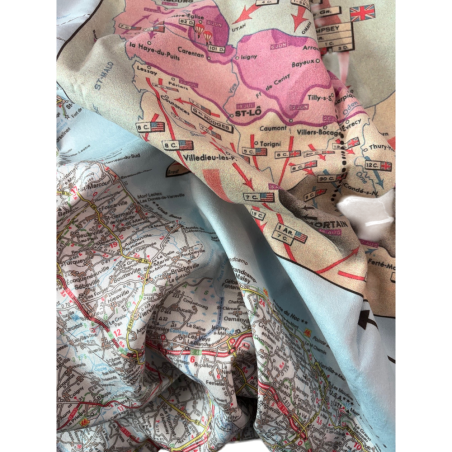
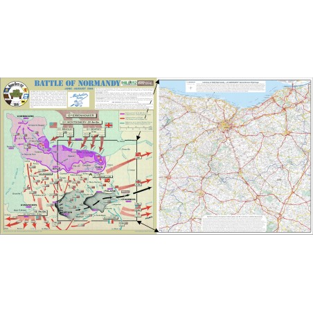


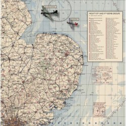
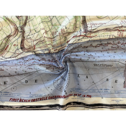
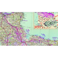
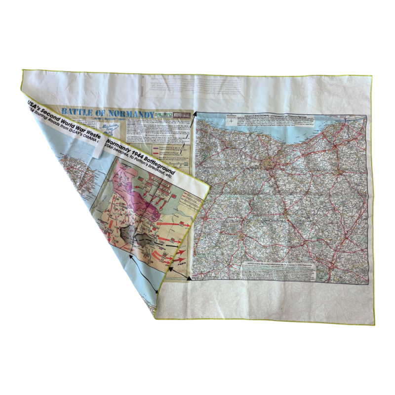
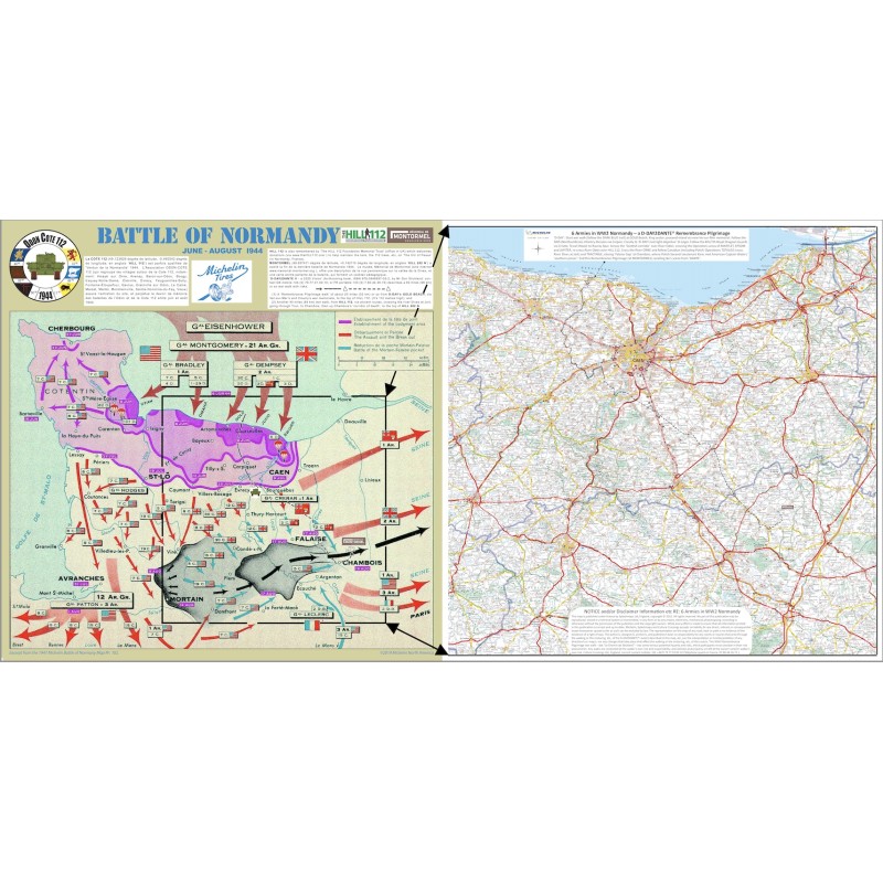
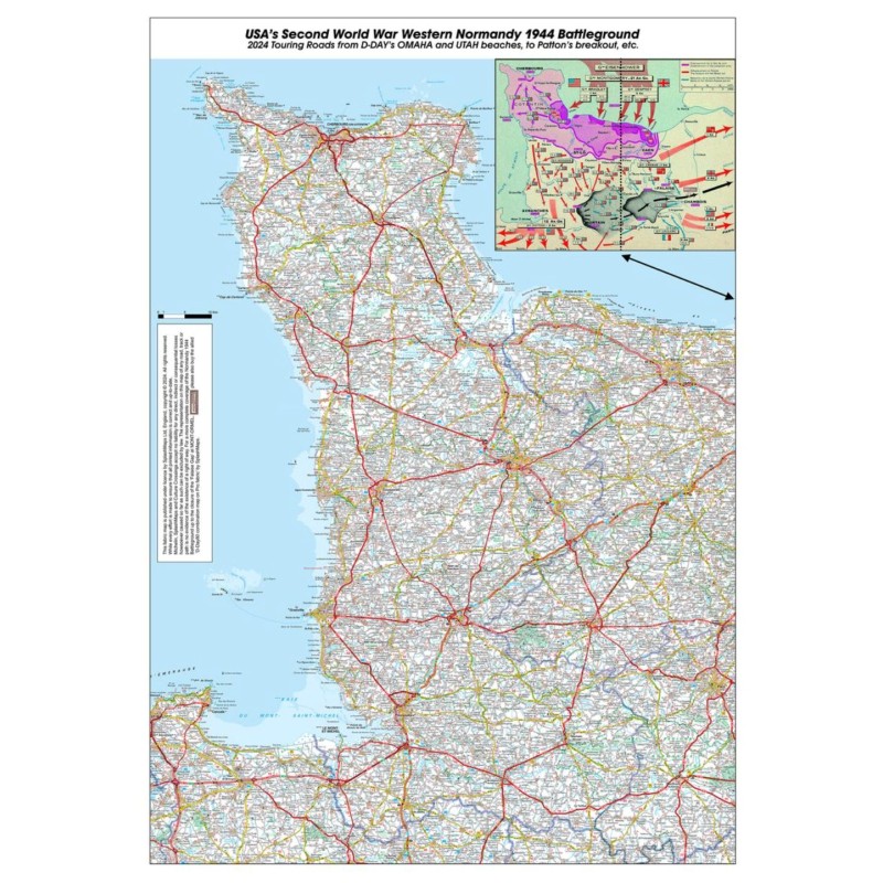
A general map of the advances made in 1944, combined with a 1:150,000 scale map of present-day Normandy, showing the route taken by Allied troops to Montormel, printed on a microfibre towel. The perfect aid for tour guides, hikers, cyclists and visitors to the D-Day beaches in Normandy and beyond. It highlights key strategic positions, the Churchill tank memorial at Hill 112 and the Montormel museum on the front, and the American advances on the back.

International delivery
 Secure Payment
CB / VISA / MASTERCARD / PAYPAL
Microfibre map
Dimensions: 90 x 130 cm
You might also like